
Geospatial Data and Technology for Public Policy and Sustainable Development
Earth data, engineered into decisions
We build the satellite, GeoAI and simulation platforms that governments and UN agencies use to monitor forests, forecast floods and plan land — engineered end to end, and still running long after launch.
Built for governments, enterprises and startups worldwide.
The teams we build for, and what they rely on us to deliver.
National platforms for public decisions
Geoportals, spatial data infrastructure and monitoring systems that ministries and international agencies use to track land, forests and flood risk, and plan around what they see.
Terrain and situational awareness
3D terrain, mission-planning layers and simulation inputs that plug into the tactical platforms operators already use, including air-gapped networks.
Eyes on critical assets
AI detection over drone and satellite imagery that watches critical assets, from offshore sites to charging networks, and flags the events that need a person's attention.
Smarter local planning
Tree inventories, school-siting analysis and service-planning maps that help councils decide where to build, plant and maintain.
Evidence for restoration and early warning
Satellite analysis of soil, land condition and flood hazard that supports restoration programmes and warns communities sooner.
Geospatial features, built to ship
Dashboards, market-intelligence maps and custom GIS plugins for teams that need location data inside their own product or workflow.
Enterprise spatial intelligence.
Most teams stop at maps. We engineer the whole chain — data pipelines, models, physics, APIs and interfaces — and operate it in production.
Geospatial Platform Engineering
Web-GIS platforms, spatial APIs and data pipelines — dashboards, SDIs and CMS-grade portals for web, desktop and mobile.
Remote Sensing & Earth Observation
SAR and optical processing, change detection, elevation and terrain analytics, plus drone imagery and full-motion-video pipelines.
GeoAI & Machine Learning
LLM agents for natural-language geospatial querying, detection models over satellite and drone imagery, and EO foundation-model integration.
Simulation & Environmental Modeling
2-D flood hydraulics and early-warning systems, terrain generation for large-scale simulations, land-degradation and environmental monitoring.
Spatial Data Engineering
Map tiling and terrain services, big-data geo conversion, offline-ready field packages, spatial databases and data-mesh architectures.
Integrations & Custom Plugins
QGIS, ArcGIS and TAK plugin development, OGC standards and 3D tiles, deployed on-premises or in the cloud — including air-gapped environments.
From spatial data to smarter GeoAI experiences.
TerraIntellect combines GIS, remote sensing, and GeoAI to transform complex geospatial data into intelligent digital solutions — helping organizations manage land, assets, infrastructure, and spatial information through one integrated platform.
Explore our GeoAI solutions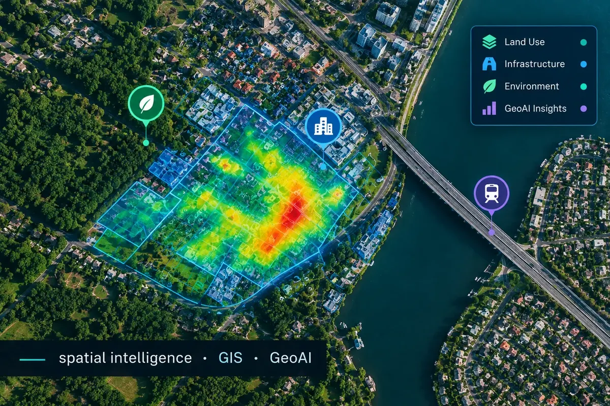
Platforms in production.
A closer look at systems we have delivered across defence, energy, public sector, mobility and environment.
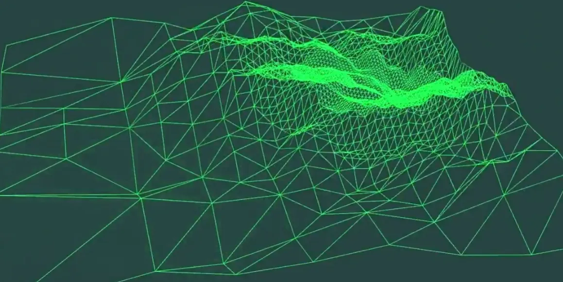 3d tiles · tactical terrain
Tactical 3D Terrain Plugins
OGC 3D-tiles mesh and photorealistic building pipelines, delivered as plugins for tactical situational-awareness platform used in planning.
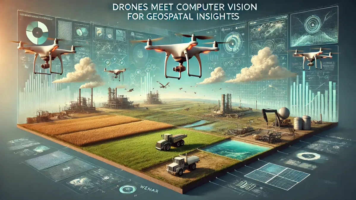 drone video · detection
AI Drone-Video Monitoring
Automated object and event detection over thermal and optical drone feeds, guarding critical offshore infrastructure.
 hex grid · terrain generation
Theatre-Level Wargame Terrain
A terrain-generation system that feeds elevation, land cover and transport networks into a hex-based joint theatre simulation.
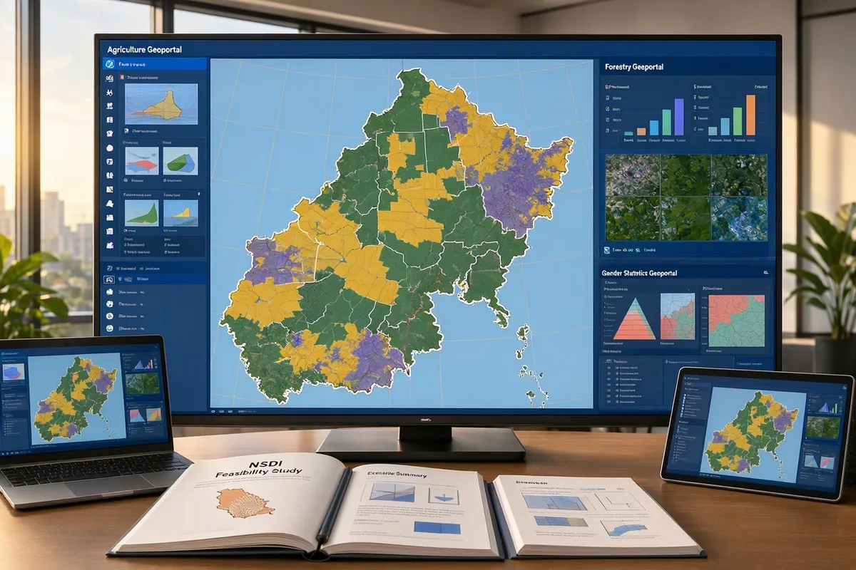 sector geoportals · SDI
Country-Wide Sector Geoportals
Agriculture, forestry and gender-statistics geoportals, plus a national spatial-data-infrastructure feasibility study.
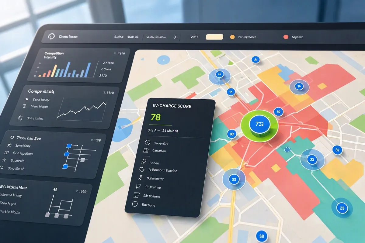 site scoring · network analysis
EV-Charging Network Optimization
A locational analysis platform that scores candidate charging-station sites against traffic patterns, competition and grid factors.
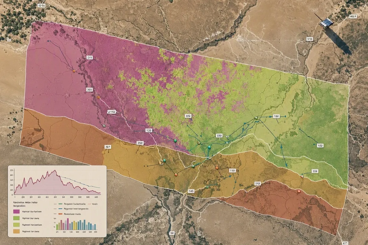 SDG 15.3 · land condition
Land-Degradation Monitoring
Satellite-based soil and land-degradation analysis supporting SDG 15.3 land-restoration programmes in arid regions.
Public institutions, global partners and enterprises.
Government and UN mandates delivered across multiple continents.
An engineering studio for public-institution GIS.
TerraIntellect turns geospatial science into national platforms — forest monitoring, dashboards, land SDI and GeoAI — engineered for governments and global partners who need decisions to run on evidence.
We stay past the pilot: building the pipeline, tuning the model, running the servers and standing behind the numbers we publish.
Talk to our team
Tell us what you're trying to decide — we'll tell you what the data can support.
info@terraintellect.net